
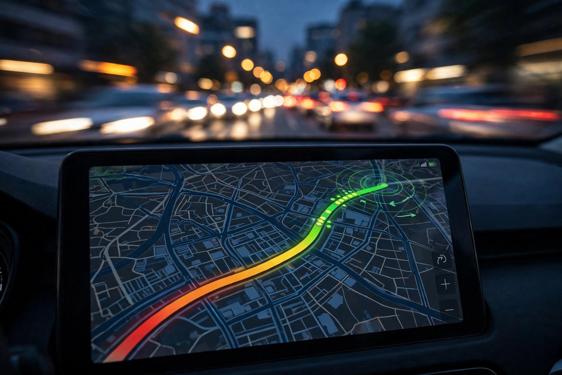
“Live” is a bold word. When Google Maps paints a road red, is it showing you the road as it is this minute — or as it was twenty minutes ago, before the queue moved on? The answer decides how much you should trust Google Maps live traffic updates in fast-changing situations like a sudden storm, a just-cleared accident, or the first minutes of rush hour.
The honest summary: fresher than any radio bulletin, slower than a live camera, and variable by road. This guide explains what “live” actually means inside the system, where the delays hide, and how to read the updates with the right amount of confidence. It pairs with our explainer on where Google’s busy data comes from, which traces the same pipeline from the other end.
live traffic updates google maps
Live traffic updates on Google Maps are a continuous flow, not a periodic bulletin. There is no “updated at 9:00, next update 9:15” cycle. Instead, every road segment is re-graded whenever enough fresh speed reports arrive from phones travelling on it. On a busy urban highway, that can be many times a minute. The colour you see is simply the latest grade, whenever it was computed.
This design means freshness is a property of the road, not of the app. Your app is never “out of date” in the way a printed map is; it is showing the most recent measurement Google has, and the interesting question is always how recent that measurement is.
live traffic updates on google maps
How recent? Google has never published a fixed figure, because the pipeline does not work that way, but the mechanics tell the story. A phone moving along a road reports its speed frequently; Google aggregates reports over a short window to smooth out noise — one car braking for a turn should not paint a road red. The practical result, consistently observed by drivers, is that a new jam on a busy road typically shows within a few minutes of forming, and a cleared road recovers its green within a similar window after traffic starts flowing.
In navigation, the updates are visible in action: your ETA moves as conditions ahead evolve, and if a faster route opens up, Maps proposes it mid-journey. That rerouting is the freshness of the data made tangible — it cannot happen unless Google’s picture is newer than your departure time.
google maps with live traffic updates
Google Maps with live traffic updates behaves differently in browsing and in navigation, and the difference matters for freshness. In browsing mode, you see traffic as of the latest grading for each road — a snapshot spread across the last few minutes. In navigation mode, Google additionally projects the updates forward: it assumes the conditions it can see will evolve in line with their usual pattern, and calculates your arrival through the traffic you will meet when you get there, not just the traffic that exists now.
That projection is why your ETA can improve while you sit in a jam: the system expects the peak ahead to thin before you arrive, and prices that expectation in. It is also why ETAs can whipsaw in genuinely chaotic conditions, when the future refuses to resemble the pattern.
google maps traffic updates
Not all google maps traffic updates are speeds. The incident system has its own freshness clock, driven by humans rather than sensors:
- A crash icon appears after drivers report it and enough signals agree — usually minutes after the event on busy roads.
- Reports age visibly. Each incident carries its report time, so a “crash reported 2 hours ago” on a now-green road should be read as probably cleared, not probably missed.
- Closures from authorities update on the agency’s schedule, which can be slower than the road itself changes — the classic case of Maps showing a closure that lifted an hour ago.
Reading the age of a report is a freshness skill in itself. The map is most truthful when you weigh each element by how it was measured and how long ago.

live traffic update google maps
A single live traffic update on Google Maps, then, is really three different data types wearing one coat:
- Measured speeds — the freshest layer, minutes old at most on busy roads.
- Reported incidents — as fresh as the last driver to bother reporting, and ageing until they expire or are contradicted.
- Official closures and roadworks — accurate but batch-updated, sometimes trailing reality by hours at the edges.
The art of using the feature is knowing which type you are looking at. Trust the colours almost in real time. Trust a fresh incident icon. Discount an old closure on a road that has turned green again.
google maps and traffic information
Google Maps and traffic information have become so fused that it is easy to forget how recent the arrangement is — and the recency explains the architecture. Rather than building a sensor network, Google crowdsourced the measurement to the phones already on the roads, and built the update system around continuous, anonymous, aggregated reporting.
That is also why updates feel instantaneous in a metropolis and sleepy in the countryside. It is not that Google refreshes cities faster; it is that a city produces thousands of fresh measurements a minute while a rural highway produces a handful an hour. Freshness follows phone density as faithfully as coverage does. Our look at traffic near me shows how that density plays out at neighbourhood level.
live traffic maps
Live traffic maps from other providers make an instructive comparison. Government traffic maps fed by fixed sensors update on their own schedule — often genuinely real-time at the sensor, but sensors exist only on major roads. Waze’s map is famously fast on incidents because its users report eagerly, though its speed data and Google’s now draw on related pipelines.
Google’s freshness edge is breadth: the combination of phone speeds, sensor feeds, agency data and user reports under one grading system. Its freshness weakness is the same as everyone’s — the tail of minor roads where no instrument watches.
google maps live traffic
So: how fresh is Google Maps live traffic, in one answer? On the roads most people drive most of the time, the picture you see is minutes old — fresh enough that navigation can profitably reroute you around a jam that formed after you left home. On minor roads, freshness stretches; on incident closures, it depends on the last report or the agency’s last update; and in the first moments of any sudden event, every system on Earth is briefly behind the reality in front of your windshield.
The sibling discipline applies to places as much as roads: Google’s live busyness for shops and venues refreshes from the same phone streams, with the same honest lag. Knowing the lag exists — and roughly how big it is — is what separates trusting the map from being misled by it.
Freshness vs the alternatives you grew up with
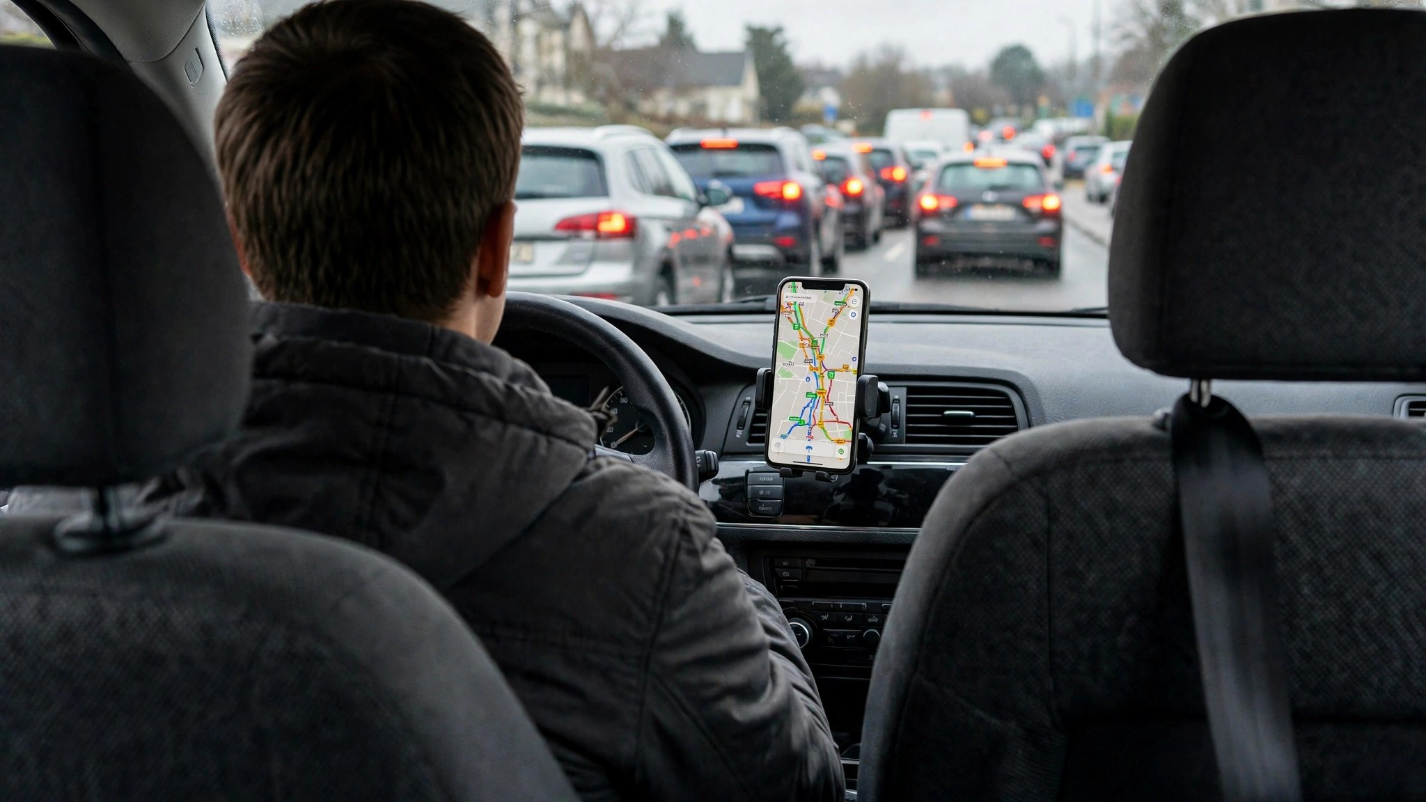
It is worth calibrating the updates against the tools they replaced, because the comparison explains why drivers feel the map is “always right” even when it is briefly behind. Radio traffic bulletins run on a fifteen-to-thirty-minute cycle, cover only the incidents a newsroom has verified, and describe the roads from a traffic centre, not from inside the queue. Highway message boards describe the road they stand on and nothing else. A passenger guessing from a flyover sees one junction.
Against those, a picture assembled from the phones of the drivers actually in the traffic — refreshed every few minutes across a whole city — is not a marginal improvement; it is a different category of information. The remaining lag is measured in minutes and confined to edge cases. That is the honest frame for every “the map was wrong” story: it was minutes behind, on a road or at a moment where minutes were the whole story.
How to sanity-check a suspicious update
When the map’s picture matters and something about it looks off, cross-check like this before committing:
- Check the incident ages. Fresh reports corroborate fresh colours; old reports on a green road suggest a cleared event.
- Watch the ETA direction. If your ETA is steadily improving while you sit still, the system believes the queue ahead is dissolving.
- Compare the parallel corridor. If your road is red but the natural alternative is green and empty-looking, the picture is coherent; if every road including tiny lanes is identical, suspect a stale view and refresh the app.
- Give it one cycle. In fast-moving situations, a three-minute pause for fresh reports beats a decision made on the first screen you saw.
When freshness matters most
Three situations reward a freshness-aware read of the map:
- The first fifteen minutes of a storm or incident. Colours lag the event; drive to conditions, not to the screen.
- The moment a peak ends. Roads recover at different rates, and the map shows the recovery corridor by corridor — leaving ten minutes later can be worth twenty.
- Event dispersal. When a stadium empties, the jam is predictable but its exact shape is not; live updates in the first half hour are worth more than any plan made yesterday.
Google describes the layer and its controls in its Maps Help documentation; the freshness behaviours above are what the documentation leaves you to learn by driving.

Frequently asked questions
How often does Google Maps refresh traffic?
There is no fixed interval. Each road re-grades as new speed reports arrive — effectively continuously on busy roads, and within minutes under normal conditions.
Why did the map show a jam that had already cleared?
The aggregation window smooths the picture, so a road holds its red briefly after flow resumes. It usually corrects within minutes on busy roads.
Can I see when an incident was reported?
Yes — tap the incident icon and the detail card shows the report’s age, which is the best freshness clue the map gives you.
Is the traffic I see the same as what other drivers see?
Essentially yes. Everyone reads the same underlying feed; only the view (browsing vs navigation) and projection differ.
Does live traffic keep updating while I drive through a tunnel or dead zone?
Your display freezes at the last picture received until the connection returns; the system itself keeps updating from everyone else’s reports, so the moment your signal is back, the freshest grades load at once.
The short version
“Live” on Google Maps means measured minutes ago on busy roads, longer on quiet ones, with incidents only as fresh as their last report. That is fresh enough to plan a departure, reroute a journey and dodge most jams — provided you read each element of the map at its own freshness, and keep your eyes, not the screen, as the final authority.
