
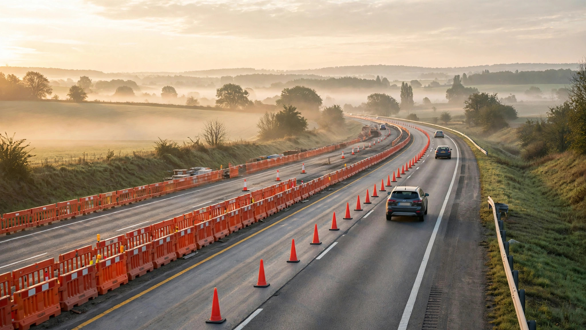
Traffic colours tell you a road is slow. They do not tell you why — or whether the road ahead is simply closed. That is the job of Google Maps road conditions: the closures, incidents, roadworks and hazard warnings layered over your route, which matter most exactly when the journey matters most.
Checking conditions takes two minutes before a trip and can save hours on the road. This guide explains what each condition means, where the information comes from, and how to check any route properly — before the airport run, the intercity drive, or the monsoon-season crossing of town. For the everyday version of the same habit, see our check on traffic near me.
google maps current road conditions
Google Maps current road conditions are the live picture of your route right now: congestion levels, active incidents, closures in force, and reported hazards. You see them in two places — on the traffic layer while browsing the map, and inside navigation, where conditions along your chosen route get priority.
The current-conditions view is reactive by design. It describes the road as it is in this hour, built from live vehicle speeds, driver reports and official feeds. It cannot warn you about a closure scheduled for tomorrow; for that, set a future departure time and check again closer to the day, when planned closures usually appear. Conditions and congestion are cousins — slow traffic is a condition, but so is an empty road closed for resurfacing at 2 a.m.
google maps road closures
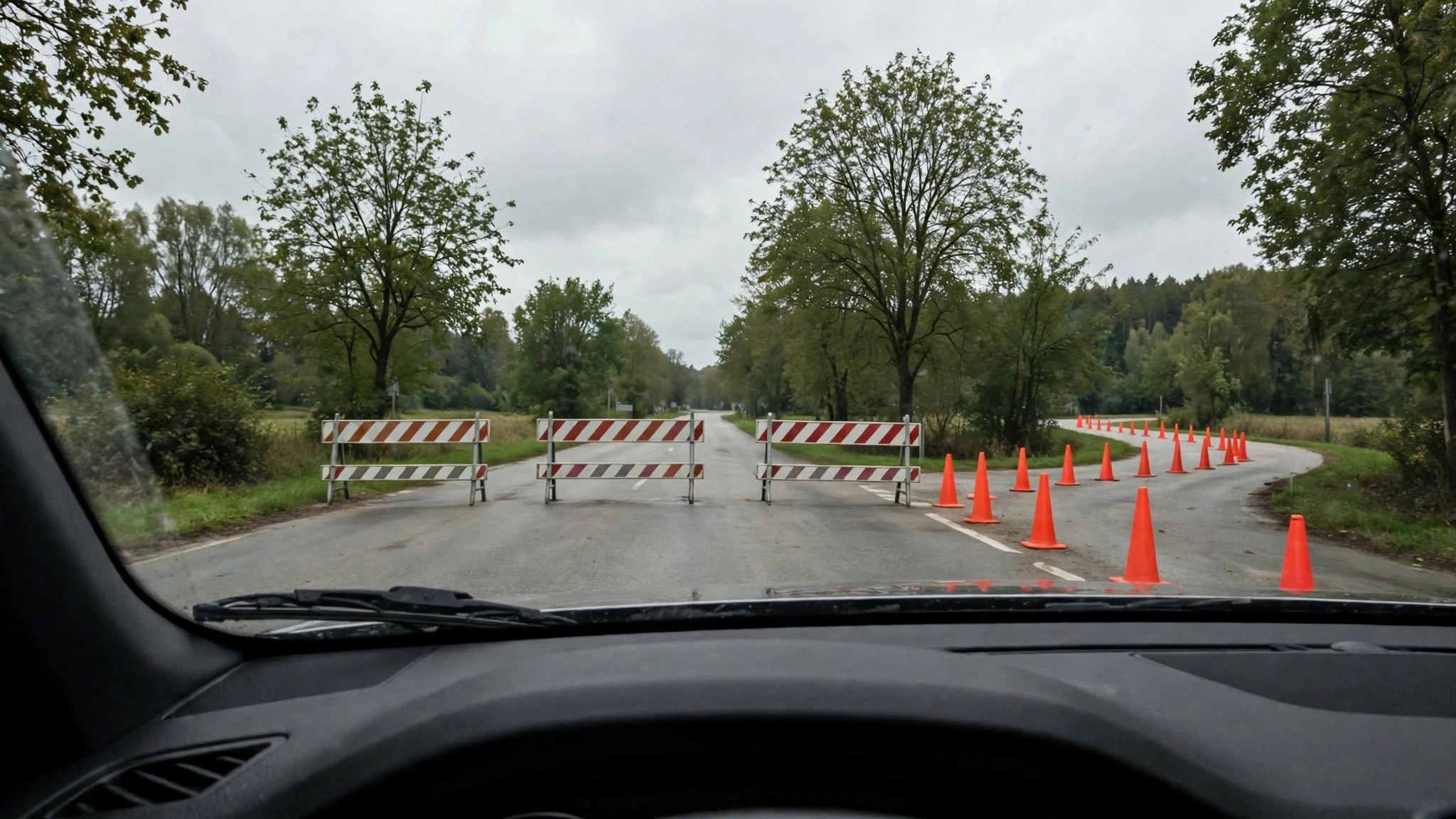
Google Maps road closures appear as a red-and-white or dashed treatment on the affected stretch, often with a closure icon and a note about the closure’s expected duration. Closed roads are excluded from routing entirely: directions will simply route around them, sometimes without comment, which is why a familiar route occasionally changes shape overnight.
Closures reach the map from three sources. Transport authorities and municipalities report planned closures — roadworks, events, marathons, processions. Google’s own map-data partners feed in verified closures. And drivers report sudden closures caused by accidents, flooding or fallen trees, which appear once enough reports agree. If Maps sends you on a strange detour with no visible jam, a reported closure ahead is the most common reason.
closed roads on google maps
Finding closed roads on Google Maps before you travel is a deliberate routine:
- Enter your destination and load directions for your actual departure time.
- Tap or click each route option and scan its path for closure icons and dashed segments.
- Zoom into any stretch where the route seems to bend oddly — closures explain most odd bends.
- Check the route summary for warnings; Maps flags “road closed” notices there when it knows them.
- Re-check on the morning of travel. Closures appear, extend and lift, and yesterday’s clear route is not a promise.
If you arrive at a closure Maps did not show, you can report it from the driving screen. That report helps the drivers behind you within minutes — the same crowd system that builds the traffic colours, documented in Google’s Maps Help pages on map layers and reporting.
google maps driving conditions
Google Maps driving conditions is the broader phrase drivers use for everything that affects the drive: congestion, incidents, closures, weather-driven hazards and roadworks. Maps splits these into visual signals worth learning individually:
- Construction markers flag roadworks zones, often with reduced speeds around them.
- Incident icons mark crashes, stalled vehicles and objects on the road.
- Hazard reports cover flooded stretches, debris and unploughed or damaged surfaces where users report them.
- Speed camera and speed trap markers appear during navigation in many regions.
- Toll and restriction notices sit in the route options, not the map, but belong to your conditions check.
Reading conditions — not just colours — is what turns Maps from a traffic light into a briefing.
google maps and traffic conditions
Google Maps and traffic conditions are often mentioned together, but it helps to keep the two layers distinct in your head. Traffic conditions describe flow: how fast vehicles move. Road conditions describe state: whether the road is open, obstructed, flooded or being rebuilt.
The two interact constantly. A closure on a parallel road pushes its traffic onto yours, and your green route turns red without anything happening on your road at all. A crash first appears as a condition (an incident icon) and then as a traffic effect (the growing red queue behind it). Checking both layers before a long drive gives you the cause and the consequence in one glance — and explains the reroutes the app suggests when you are already moving, a habit we cover in how’s the traffic.
google map traffic condition
A single google map traffic condition check is also a useful verdict on whether to travel at all. When every route to a district shows incident icons and deep red, the problem is usually systemic — a storm, a flood, a citywide event — not a local jam you can dodge.
Postpone-able trips deserve that verdict most. Deliveries, property visits, non-urgent appointments: if conditions across all routes are poor and worsening, waiting two hours is often faster than leaving now. The condition layer cannot make that decision for you, but it gives you the evidence in one screen instead of three phone calls.
google maps traffic conditions
Google Maps traffic conditions are strongest exactly where journeys are least forgiving: long intercity drives. On a highway trip, a single closure can mean a 40 km detour, so scanning the whole route’s conditions before departure is worth more than any mid-journey reroute.
Do it at two zoom levels. Zoomed out, look for the overall shape — incident clusters around cities, long red sections on ghats or single-carriageway stretches. Zoomed in at your start and destination, check the local ends of the trip, where conditions data is densest and last-mile closures hide. City drivers know this instinctively; highway drivers learn it after one bad night.
Roadworks, closures and incidents: three different problems
The condition icons look similar at a glance, but they ask for different decisions:
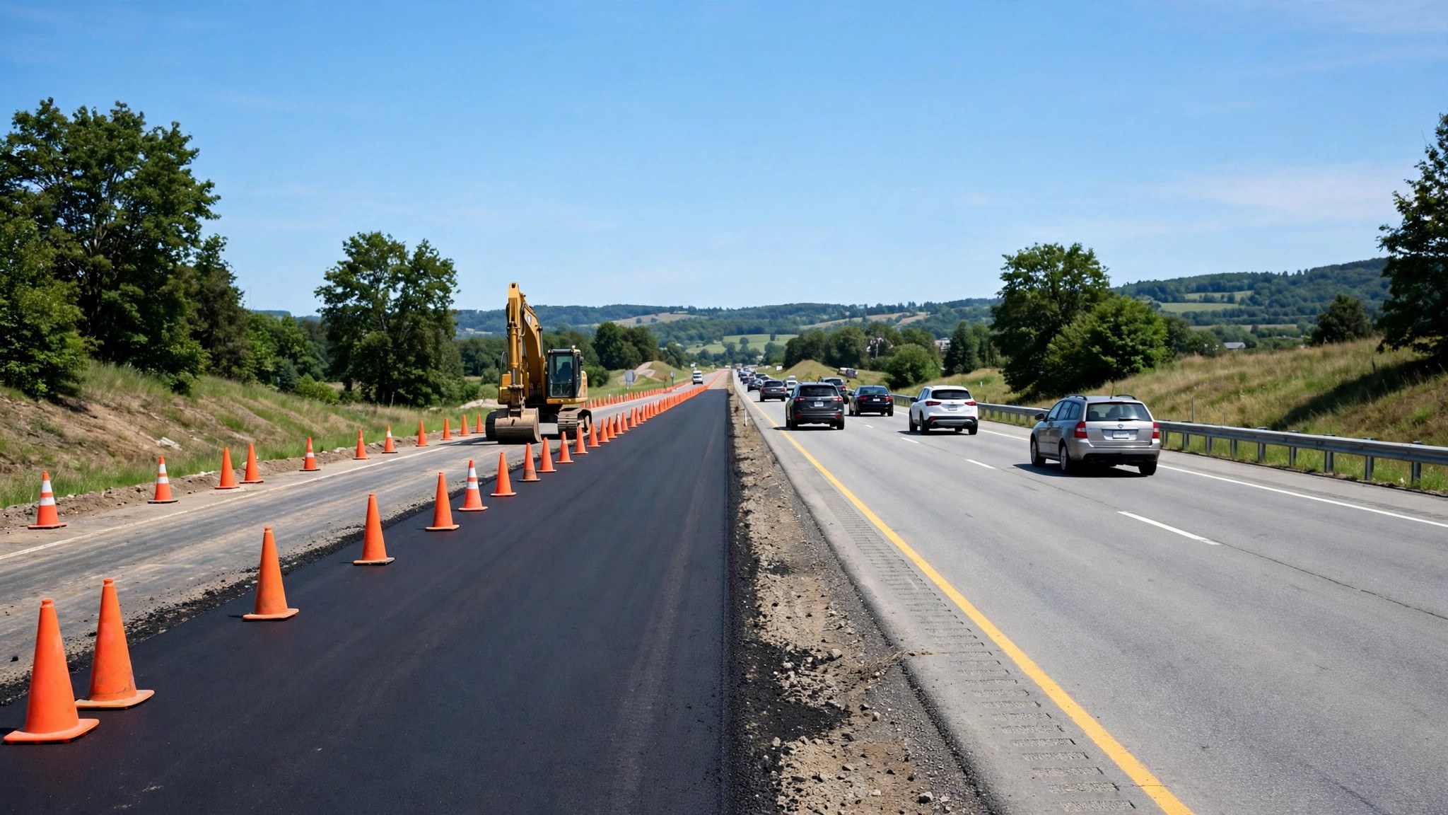
- Roadworks are planned, signposted and usually partial — a lane or two lost, a speed limit in force. They slow you down predictably, and the map often knows their schedule days ahead, down to the overnight-only pattern of many urban projects.
- Closures are absolute. The road, bridge or tunnel is shut to traffic, full stop, and routing treats it as if it did not exist. Closures deserve the most respect in planning because their detours can be long, especially across rivers and railway lines where alternatives are scarce.
- Incidents are unplanned and alive: a crash, a breakdown, a spill. They evolve — a two-lane blockage can become a one-lane trickle in twenty minutes — and the map’s estimate improves as more drivers pass through and report.
A route with roadworks is usually still the right route. A route with a full closure is not a route at all. A route with a fresh incident is a judgement call that distance and alternatives decide.
Checking conditions for a route you drive every day
Familiarity is the enemy here: the routes we skip checking are the ones that surprise us. Build the check into the routine rather than relying on memory of yesterday’s road.
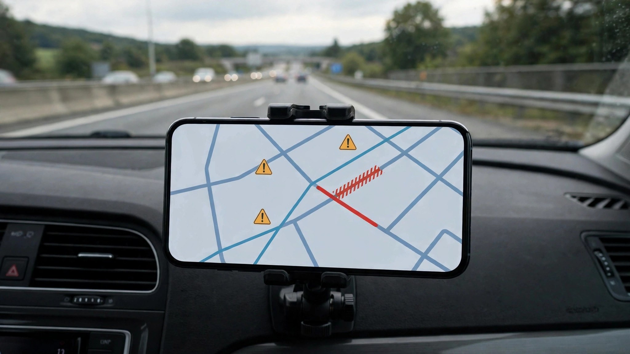
- Pin the commute. Saved home/work routes surface their current conditions on the app home screen, including a closure warning when one exists.
- Use the widget or driving shortcut. On Android, the traffic widget shows nearby conditions without opening the app at all.
- Ask the assistant. Voice queries like “traffic to office” return an ETA built on live conditions, hands-free, while you are getting ready.
- Trust the odd reroute. When Maps quietly reshapes a familiar journey, it is usually routing around a condition it knows and you do not — follow it once before arguing.
Weather and seasonal conditions in India
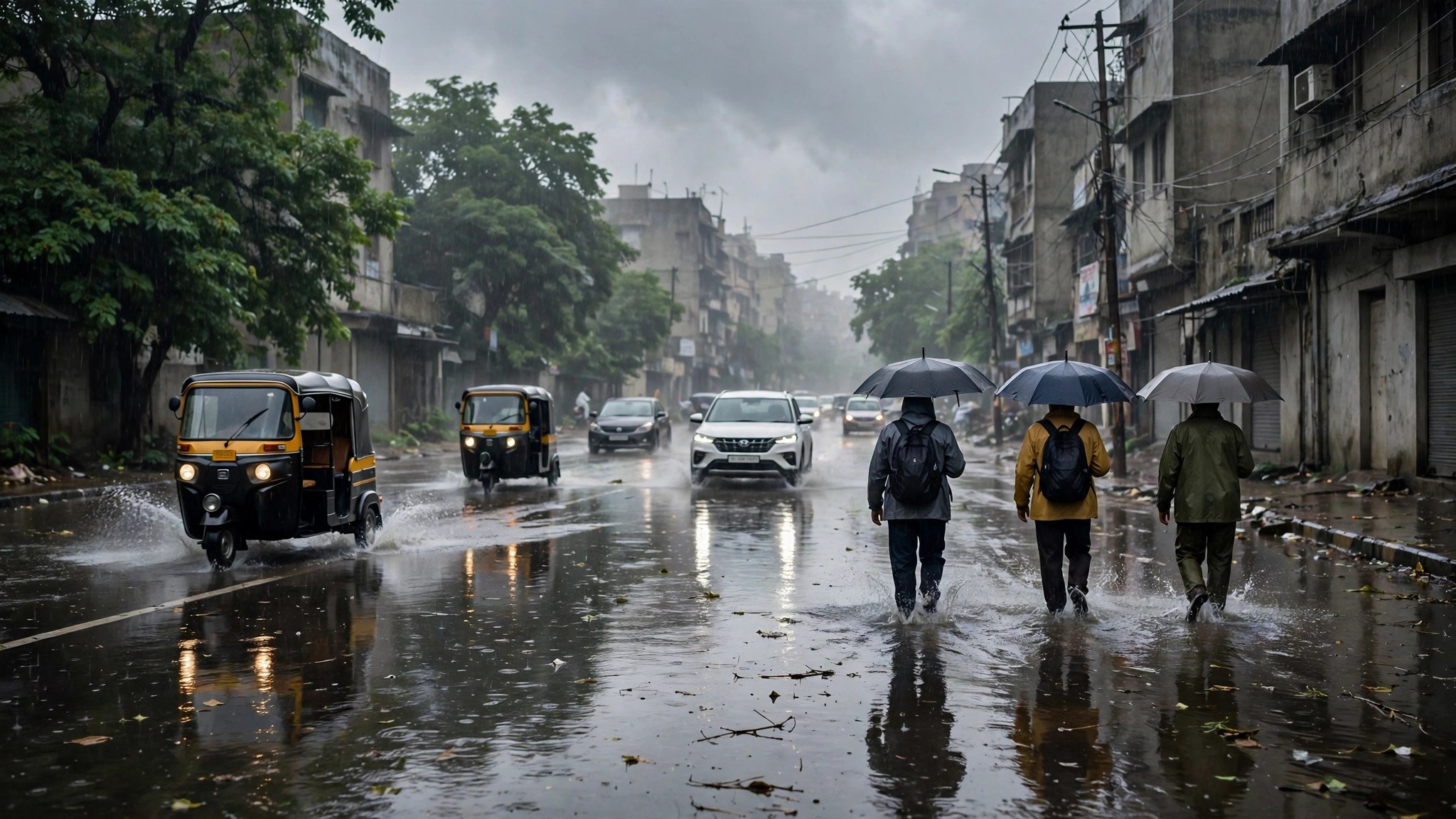
India adds seasonal chapters to the conditions story. Monsoon months bring waterlogging reports to underpasses and low-lying arterials in Mumbai, Delhi, Bengaluru and Chennai, and the incident layer fills with flood and slowdown markers within minutes of a downpour. Winter fog in the north slows expressways around Delhi in the early morning, visible as unexplained orange at hours that are normally green.
Landslide-prone hill roads in the monsoon, festival processions in old city areas, and election or VIP movement restrictions in capitals all register in the same system. The pattern to learn: when the weather or the calendar turns unusual, conditions deserve a check even for routes you could drive blindfolded. Our overview of busy areas on Google Maps puts these road conditions in context with the crowd features for places.
When Maps conditions disagree with what you see
Occasionally the map shows a closure that has lifted, or a clear road that is actually blocked. Reports take time to expire, official feeds update in batches, and a very fresh blockage may not have gathered enough driver reports yet. Treat the layer as the best available intelligence, not gospel: if the road in front of you contradicts the phone, believe your eyes, drive safely, and report the mismatch if you can do so without using the phone while moving.
Frequently asked questions
How far ahead do planned roadworks show on Google Maps?
Major planned closures usually appear days ahead once the authority’s feed reaches Google; minor local works may only show on the day. Always re-check on the travel date.
Why did Maps route me onto a closed road?
Either the closure was reported after your route was calculated, or it is too new to be verified. Report it from the app — your report is how the system learns.
Can I check conditions without starting navigation?
Yes. The traffic layer shows conditions while browsing; tap any incident or closure icon for details without entering a destination.
Do conditions work for small towns and rural highways?
Partially. Congestion colours may be sparse where few phones travel, but official closures and major incidents still appear from agency feeds.
Can I see conditions for a trip next week?
You can set a future departure and view expected conditions for planned closures and roadworks, but live incidents cannot be forecast. The sensible routine is a planning check when you book, and a live check on the day itself.
The short version
Colours show speed; conditions show causes. Before any trip that matters, scan your route for closures, incidents and hazards, re-check on the day, and let both layers inform the go-or-wait decision. Two minutes of conditions-checking is the difference between a detour you chose and one that chose you.
