
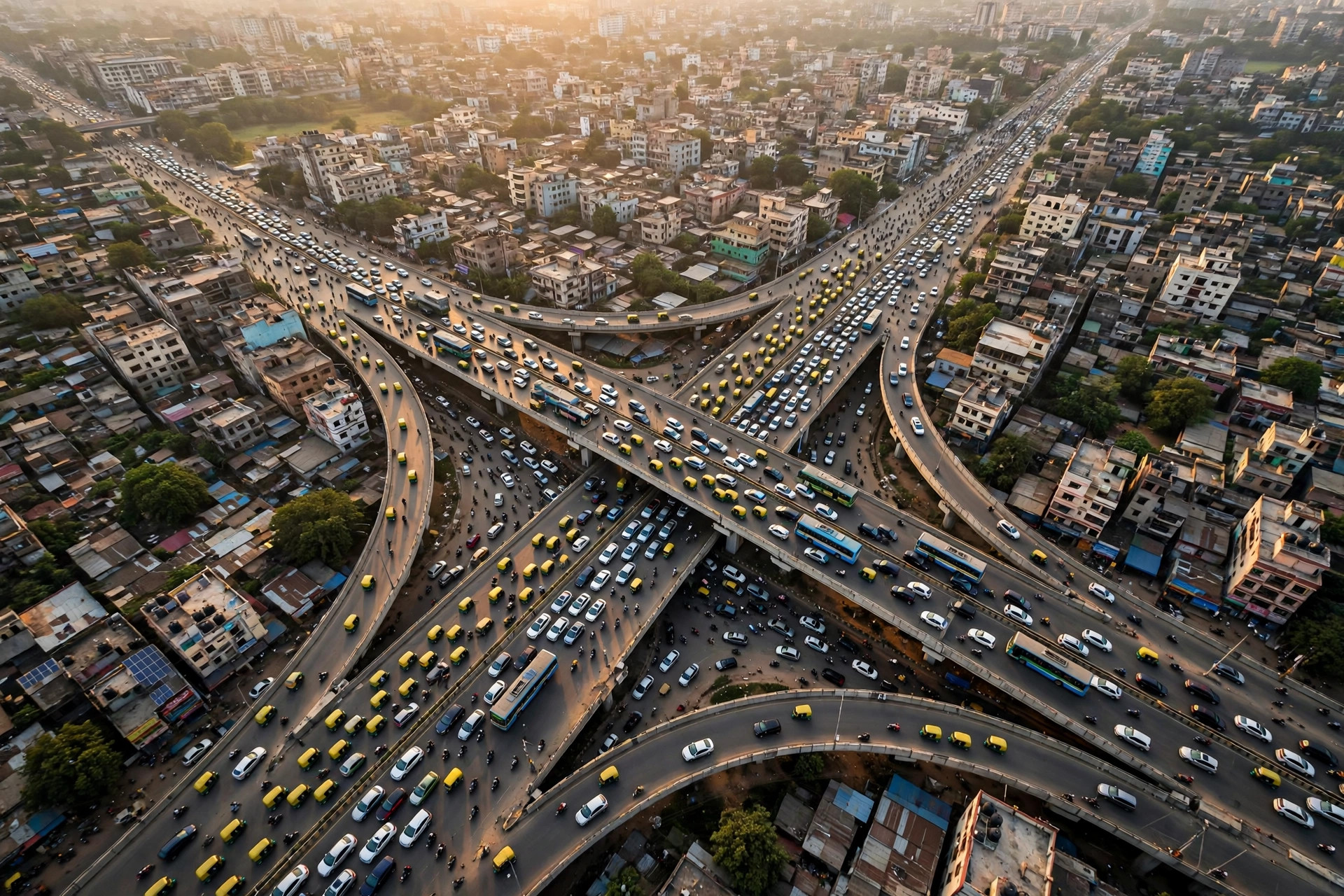
Every weekday morning, millions of commuters in four great South Asian cities open the same app with the same question: how bad is it today? The live traffic Bangalore Google Maps search alone spikes twice a day, every working day. But the map only helps if you know your city’s particular shape — where its jams are born, which hours are hopeless, and which corridors stay honest.
This guide reads live traffic city by city: Bangalore, Gurgaon, Chennai and Dhaka. The patterns described are the typical ones local drivers know; the live layer is how you verify them today, because no pattern survives a festival, a downpour or a VIP movement untouched. For the general method behind these checks, start with traffic near me.
live traffic bangalore google maps
Bangalore’s traffic has a geography every resident learns the hard way. The Outer Ring Road corridor — Hebbal, KR Puram, Marathahalli, Silk Board, Electronic City — carries the tech-park commute and produces the city’s signature all-day orange, deepening to dark red at the classic chokepoints: Silk Board junction, KR Puram’s hanging bridge merge, Tin Factory, and the Hebbal flyover approaches.
Reading the live layer in Bangalore rewards three habits:
- Check corridors, not distance. A 9 km trip along the ORR and a 9 km trip through the old city are different sports; the map’s ETA, not the odometer, is the truth.
- Respect the twin peaks. Roughly 8:30–10:30 a.m. and 5:30–8:30 p.m. on working days; a departure inside the peak costs double the same trip at noon.
- Watch construction corridors. Metro work has narrowed key stretches for years at a time; the live map shows which segments are suffering this month, which no static advice can.
Rain changes everything in Bangalore: an evening downpour can redden the entire ring within the hour, and the live layer — updated by the phones of drivers already in it — is the earliest warning you will get.
google maps gurgaon traffic
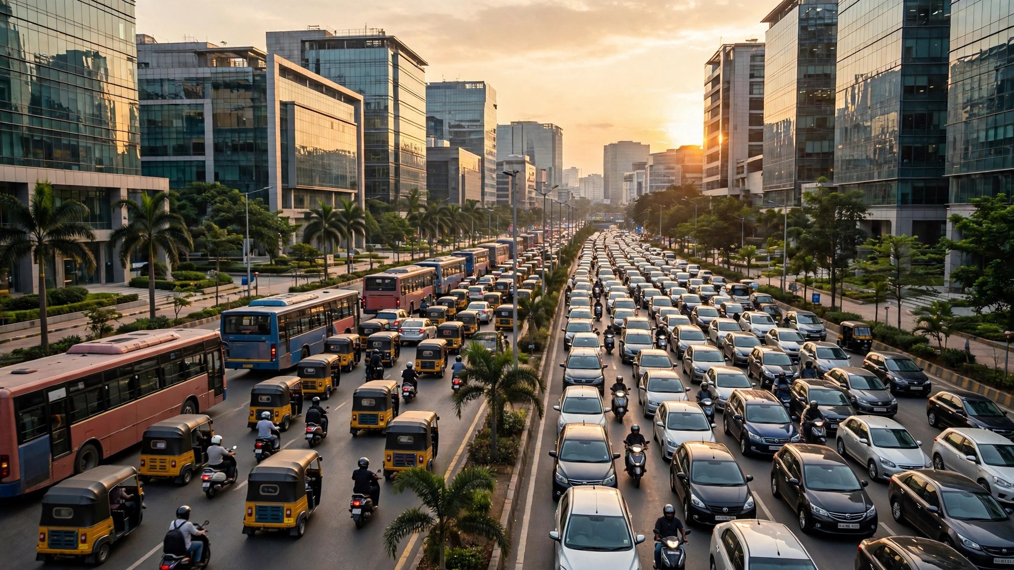
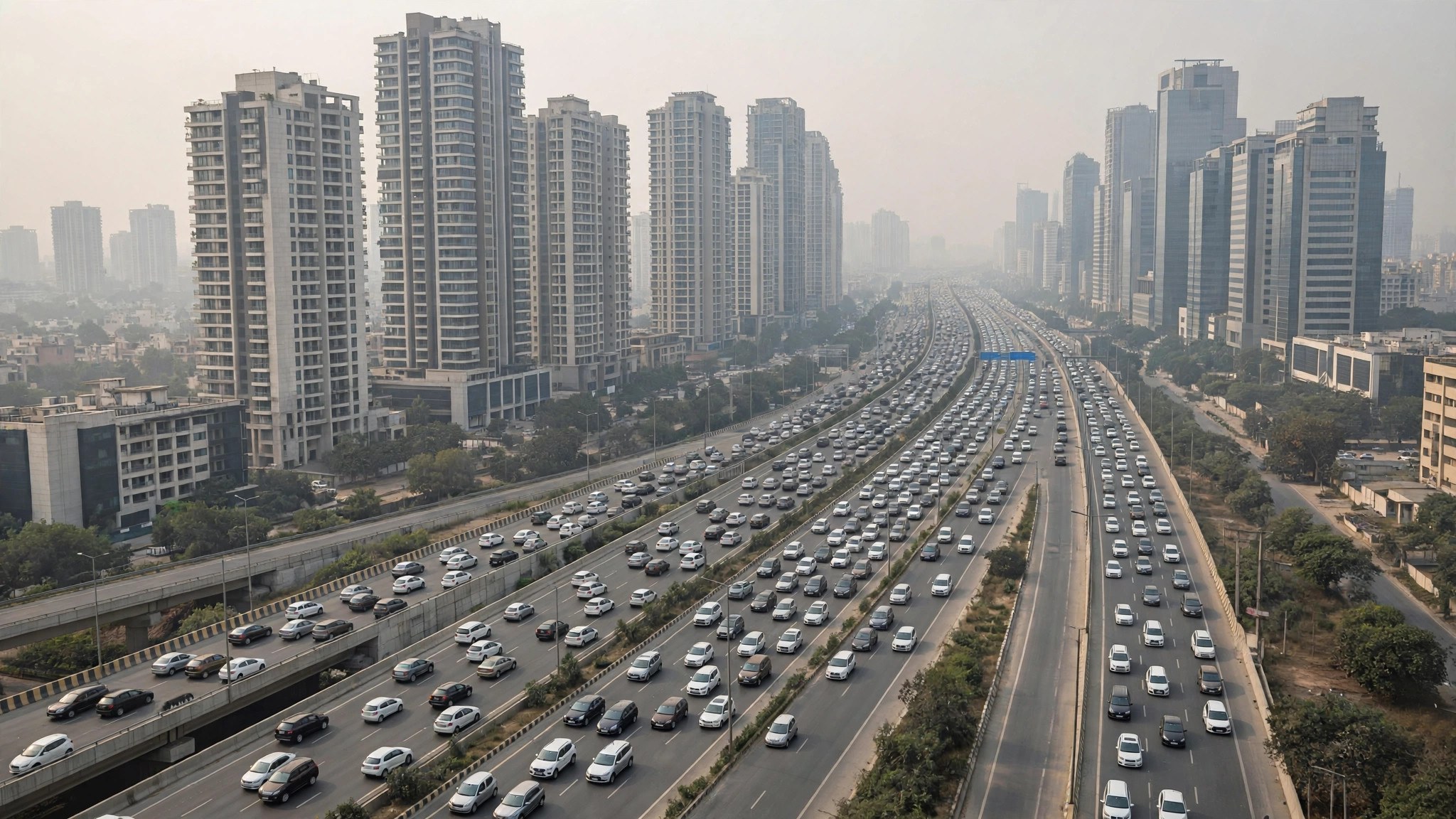
Google Maps Gurgaon traffic tells a story of one highway and the office city hanging off it. NH-48 (the Delhi–Gurgaon expressway) is the spine: when it flows, Gurgaon works; when it jams at the border or at IFFCO Chowk, the whole city’s schedule slips. Cyber City, Golf Course Road and MG Road form the inner web, peaking hard with office hours — inbound on NH-48 in the morning toward Delhi’s reverse flow, outbound in the evening as the towers empty.
Practical reads for Gurgaon:
- The expressway’s service lanes often look tempting on the map and are usually a trap at peak hours; trust the ETA comparison rather than the colour alone.
- Golf Course Road and the Rapid Metro corridor stay comparatively sane even at peak — the live layer shows this consistently.
- Friday evenings and month-end weekends stack leisure traffic (the mall and restaurant districts) on top of the office exodus; the map shows the second peak forming an hour after the first fades.
Because so much of Gurgaon’s traffic is office-shaped, its pattern is unusually predictable — which makes deviations (an NH-48 incident) unusually visible on the live map and worth acting on immediately.
google maps chennai live traffic
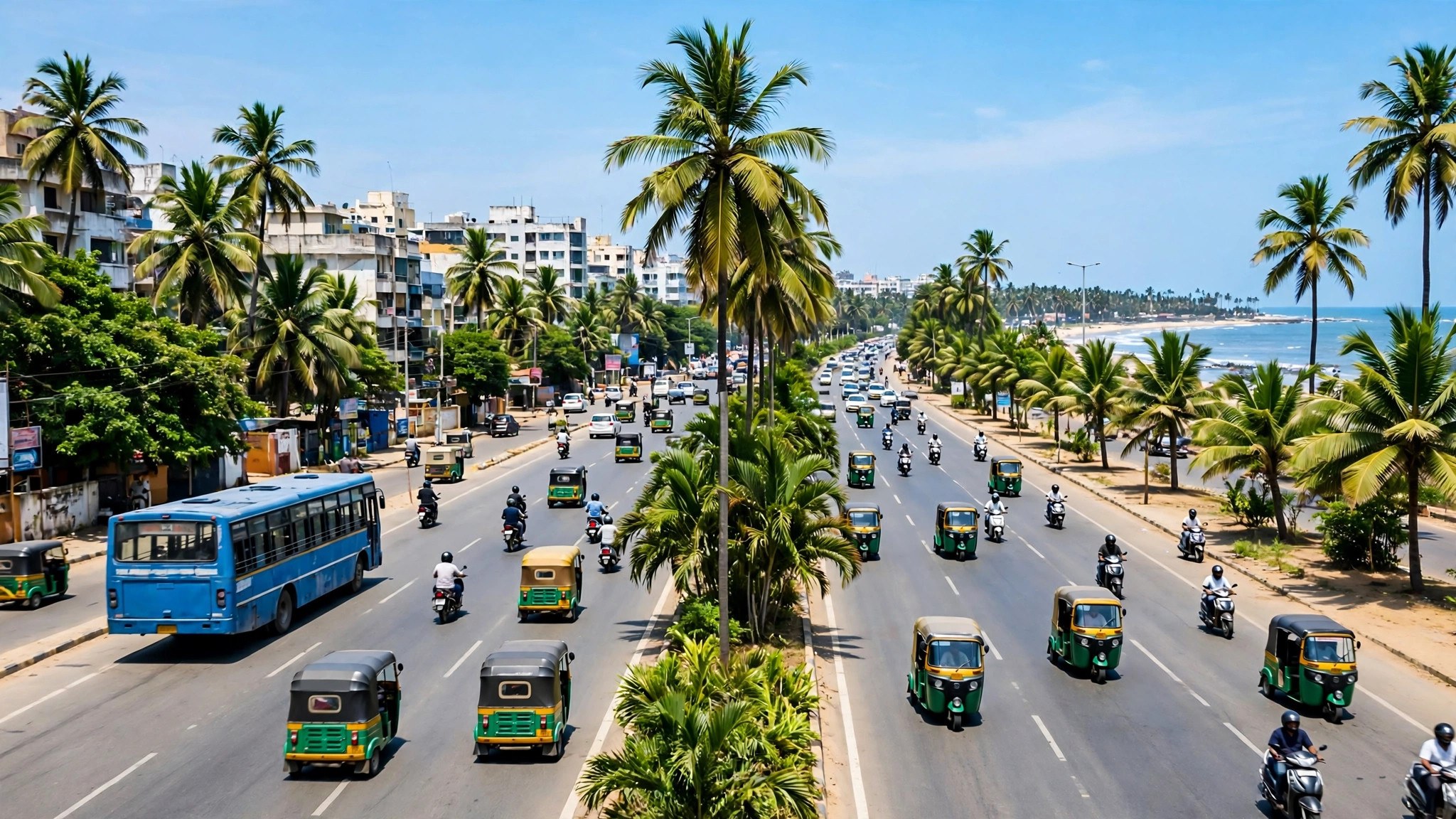
Google Maps Chennai live traffic revolves around its great radial corridors: the OMR (Rajiv Gandhi Salai) IT corridor through Perungudi and Thoraipakkam to Siruseri, Anna Salai through the centre, GST Road toward the airport and Tambaram, and the Porur–Guindy industrial belt. Each has its own rhythm. OMR peaks are tech-park shaped — sharp morning inbound, long evening outbound, with toll plaza queues that show as discrete red beads on the map.
Chennai specifics worth knowing:
- Metro construction corridors — several arterial stretches carry long-running works; the live layer grades their current pain better than any static guide.
- The airport run on GST Road deserves a conditions check plus a buffer: its peak and the OMR peak can combine if your route crosses the centre.
- Northeast monsoon weeks flood the usual underpasses and low stretches; sudden red clusters around them on the live map are water, not volume — reroute rather than queue.
Chennai’s peaks are slightly kinder than Bangalore’s — the city’s grid of arterials gives the map more alternatives to offer, and the ETA ranges are usually narrower. Use metro station rush hour times thinking too: on the worst evenings, the metro’s predictability beats the road’s.
google map live traffic dhaka
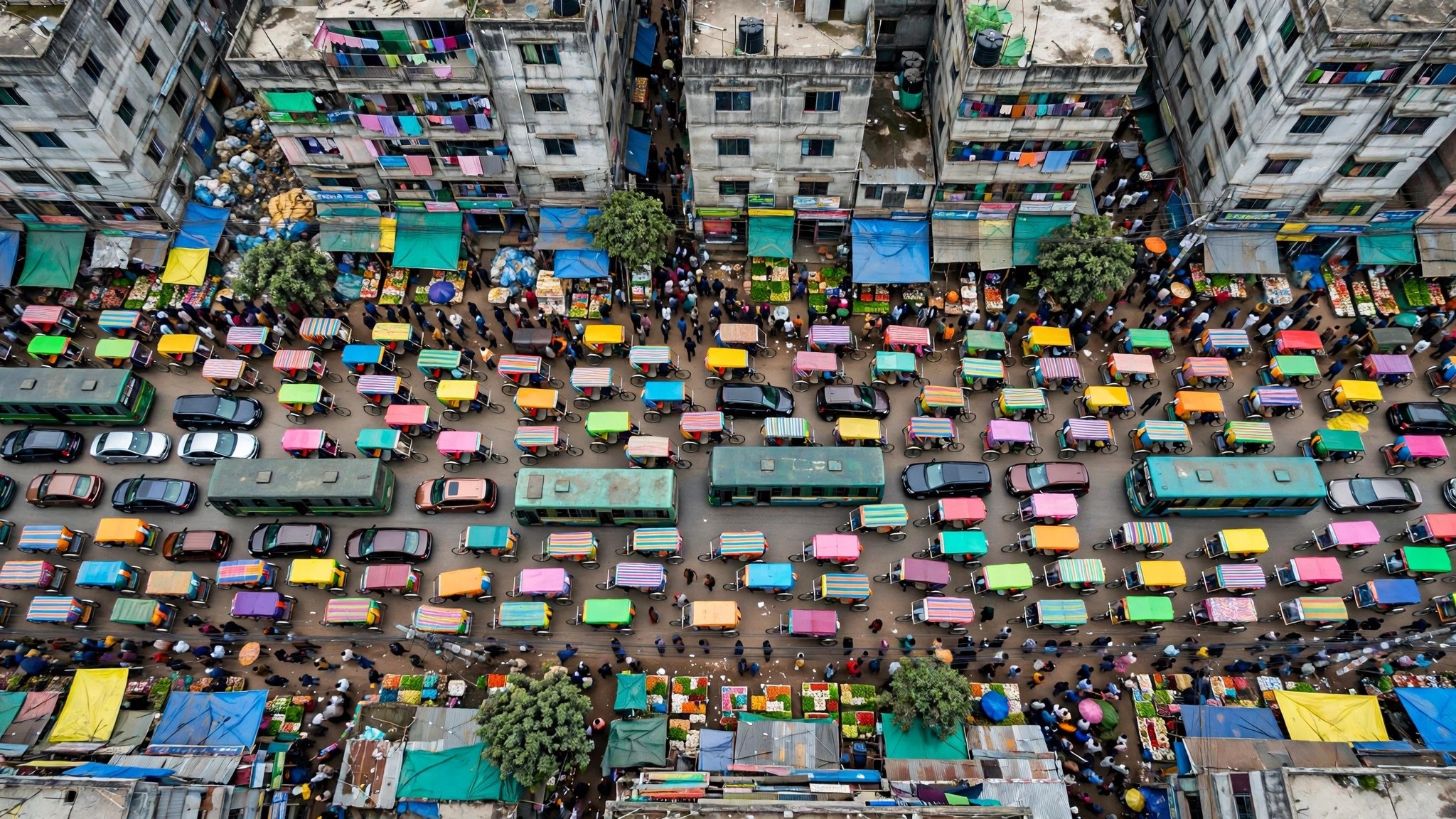
A Google Map live traffic Dhaka check is a study in density. Dhaka’s congestion is legendary and structurally different: a huge population, a road network carrying cars, buses, rickshaws and CNG auto-rickshaws in the same space, and corridors like Mirpur Road, Airport Road, Progati Sarani and the Gulshan–Banani–Motijheel triangle where the whole day can run at peak intensity.
Reading Dhaka on the live layer:
- Peak is a plateau, not a spike. Morning build-up from around 8 a.m. and an evening peak that can run past 9 p.m.; midday rarely gives the relief other cities enjoy.
- The MRT-6 metro changed the Uttara–Motijheel axis. On heavy days, the map’s driving ETAs along Airport Road argue for the train by themselves.
- Local events dominate. Hartals, processions, match days at Mirpur and festival weekends rewrite the map completely; on such days, the live layer is not a refinement of the plan — it is the plan.
Dhaka also demonstrates the coverage principle: the city’s enormous phone density means the live data is rich and updates quickly, even where the roads themselves despair.
Airport runs in these four cities: where the map earns its keep
The highest-stakes traffic check in any of these cities is the airport run, and each airport has its own trap. Bengaluru’s airport sits far north of the city, so the live question is the state of the Hebbal corridor and the airport road itself — an incident there has no real alternative, which argues for leaving on the pessimistic end of the ETA range. Gurgaon’s travellers cross to Delhi’s airport on NH-48, the same spine as the office commute, so flight times colliding with the evening exodus deserve a double buffer.
Chennai’s airport run down GST Road combines port, industrial and city traffic, and the live layer’s incident check matters more than the colours. Dhaka’s airport sits on Airport Road itself — the corridor is the destination — and on heavy days the honest reading of the map is that the metro or an early start is the only reliable plan.
The shared lesson: for airport runs, do not just check your city section above — check the corridor at the hour you will actually travel, with “Depart at” set, and then re-check live before the taxi arrives.
A note on data depth in these cities
All four cities share one advantage: enormous smartphone density, which means deep live data, quick updates and colour coverage well beyond the highways into the arterial network. The exceptions follow the usual rule — newly built outskirts, private layouts and township roads can show no data even inside these metros, and Dhaka’s rickshaw-dominated inner lanes measure the vehicles around them rather than the lanes themselves.
That depth is also why the predictions for these cities are usable for planning: years of dense journeys have built detailed hourly profiles for every corridor named in this guide. Pattern plus live verification is a stronger tool in these four cities than in most of the world.
The method behind all four cities
Strip away the local colour and the same five-step method works in every city in this guide:
- Open the traffic layer and read the corridors, not single roads.
- Compare ETA ranges for two or three departure times, not just “Leave now”.
- Zoom into known chokepoints on your route — the map grades them honestly.
- Check incidents, not just colours; a closure upstream explains a jam downstream.
- On event, strike, storm or festival days, re-check immediately before leaving; patterns are void.
The layer controls themselves are identical everywhere — Google’s Maps Help page on layers documents them — which is exactly why the local knowledge in this guide is the valuable part.
What these cities teach about each other
Bangalore teaches that corridor cities live and die by two or three junctions. Gurgaon teaches that an office city’s traffic is a timetable you can set your watch by, until the day the highway fails. Chennai teaches that a grid of arterials forgives; Dhaka teaches that density eventually defeats geometry and only live data keeps up.
For travellers chaining these cities with the rail network, our companion piece on railway station busiest hours covers the station end of the same journeys — the road to the station and the crowd inside it are two halves of one plan.
Frequently asked questions
Which of these cities has the worst traffic on Google Maps?
By typical peak-hour slowdowns, Dhaka’s plateau is the most punishing, with Bangalore’s chokepoints close behind. The honest answer varies by corridor and day — which is the entire argument for checking live.
Are the live colours reliable in Dhaka given the rickshaw traffic?
Yes for vehicle roads: the data comes from phones in vehicles, and Dhaka’s phone density is very high. Rickshaw-only lanes and lanes too minor for cars may show no data.
Why does Bangalore show orange all day on the ORR?
Because the corridor genuinely runs near capacity from morning to evening on working days — a high baseline, not an all-day incident. The ETA, not the colour, tells you the actual cost.
Can I check these cities’ traffic from another country before travelling?
Yes. Pan the map to any of them with the traffic layer on and you see their live conditions from anywhere in the world.
Why does my route’s ETA in Bangalore vary so much between two checks an hour apart?
Because the corridor system is genuinely volatile: one stalled vehicle at Silk Board or one shower over the ORR can add twenty minutes within the hour, and the live feed reprices your journey as it happens. Wide ETA ranges in this city are information, not indecision — they tell you to protect the trip with a buffer or shift it out of the peak entirely.
The short version
Live traffic is a local language with a universal alphabet. Learn the four colours anywhere; learn Silk Board, NH-48, OMR and Mirpur Road specifically, and you can read four of South Asia’s hardest commutes like a resident. The map gives you today’s truth — this guide gives you the patterns to interpret it with. Check the corridor before you check the clock, and let the city’s own rhythm, not habit or hope, set your departure time every single day.
