
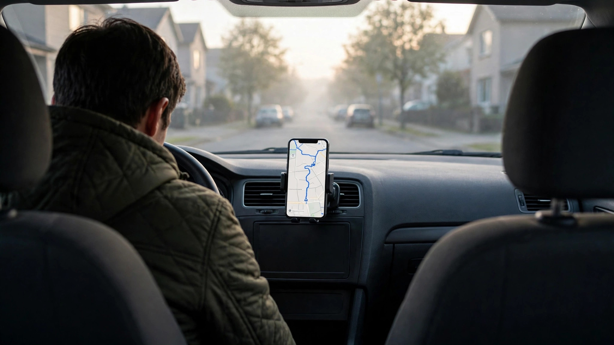
“How’s the traffic?” is the question every departure asks — to a spouse, to the radio, to whoever left before you. Google Maps answers it better than any of them, not with an opinion but with the measured speed of the roads themselves, refreshed by the minute. The craft is in asking properly: checking the right corridor, at the right moment, with the typical patterns in one hand and the live colours in the other.
This guide turns the question into a routine: the two-minute pre-departure check, the departure-time tools that pick your minute for you, and the judgements that separate a driver who reads traffic from one who merely suffers it. It is the companion to our guide to traffic near me, which teaches the live layer itself; here the focus is the moment of leaving.
traffic checker
Used deliberately, Maps is a complete traffic checker, and the check has a shape worth memorising:
- Open your actual route, not the whole city. Enter the destination and let the route draw; the colours that matter are the ones on your line and its one sensible alternative.
- Read the arrival estimate against its usual. Maps shows the journey time for current conditions; your knowledge of the same trip on a calm day converts it into a delay figure, which is the number that decides things.
- Find the red’s location. Congestion at your first junction argues for the alternative route; congestion at the destination argues for departure delay or a drop-off short of the scrum; congestion mid-route argues only for patience.
- Glance at incidents. An accident marker is a worsening situation; roadworks are a known, priced-in one. Treat them differently.
- Decide: leave, wait, or reroute — then stop checking. The checker informs departures; it should not accompany them anxiously from the passenger seat.
Ninety seconds, five steps, and “how’s the traffic?” has an answer with a number attached.

traffic app
Maps is not the only instrument in the drawer, and a good checker knows the bench. Dedicated navigation modes — including Maps’ own driving mode and rival apps — add voice-first interfaces, incident reporting communities and offline maps for signal deserts. Their traffic data, though, is drawn from the same species of source: anonymised movement from phones on the road, a method whose history and mechanics are laid out in the Google Traffic overview on Wikipedia.
Choosing between them is therefore about interface and habits, not truth: the app whose alerts you actually heed beats the marginally cleverer one you mute. One combination deserves naming: check conditions in Maps for the destination’s situation as well as the route’s — the crowd state of the market, hospital or station quarter you are driving into, from the busyness features this site exists to explain — then navigate with whichever app you prefer. Route traffic and place busyness are the two halves of a journey, and no single app screen yet shows both with equal love. Our pillar guide to the Busy Area feature on Google Maps covers the destination half.
road traffic
Road traffic obeys a small set of laws that the checker learns to feel. Capacity is a cliff, not a slope: a road carries its design flow smoothly until a small addition of vehicles tips it into stop-start collapse, which is why a route can be fine at 5:40 and ruined at 5:55 with no visible cause. Jams have anatomy: a head where the cause sits, a tail that grows backwards at a steady rate, and a discharge wave when the cause clears — the experienced checker, seeing fresh red, asks where its head is before anything else.
Traffic is displaced, never destroyed: close or clog one corridor and its vehicles reappear on the parallels within minutes, which is why the obvious detour everyone takes together is often no detour at all — and why the app’s recommendation, which accounts for how many others are receiving it, deserves more respect than your own clever shortcut. And peaks are appointments: the school run, the office exodus, the stadium emptying happen at published times, so the strongest traffic tool ever built remains the calendar — leaving fifteen minutes before the appointment, or after it, regularly beats every in-trip optimisation combined.

What time should I leave Google Maps?
Maps will answer this directly if you ask it in its own language. In directions, the departure-time control lets you set a planned departure — or an arrival deadline, working backwards — and the estimate then uses typical traffic for that day and time: the historical pattern of your route, school runs and office peaks included, rather than this minute’s live accident. For a flight, a wedding, an examination, any arrival with a penalty, this is the correct instrument: live data cannot know about the 8 a.m. school run if you are checking at midnight; typical data was built from a hundred such mornings.
Use the two clocks in their places. Planning (tonight, for tomorrow): typical traffic, arrival-deadline mode, plus a buffer you choose by the cost of lateness. Departing (keys in hand): live colours and the current estimate, with the typical figure as your sense-check — if live says 40 minutes and typical says 70 for this hour, believe both: something has gone unusually well, and the gift is real but should not be banked twice.
Over weeks, your own history becomes the third clock. The app remembers routes you drive, and its suggestions sharpen; your memory of what the airport run really takes at 6 a.m. on a Friday sharpens faster. The checker’s art is triangulating the three — pattern, present, and personal experience — before the door closes behind you. The companion habit for the place you are driving to is the pre-departure crowd check in our guide to checking live crowds before you leave; together they cover the journey end to end.
The buffer doctrine: converting estimates into arrivals
An estimate is not an arrival plan until you add the margin your deadline deserves, and the checker develops a personal doctrine about buffers. Price the lateness first: a missed film loses a ticket; a missed flight loses a day; a missed dinner loses nothing but appetite. Then size the buffer to the network’s mood, not your anxiety — on a calm Sunday pattern, fifteen minutes of buffer over the typical estimate is generous; in the weekday evening peak, when a single breakdown on your corridor doubles the tail of the distribution, the honest buffer over the live estimate is half the journey again.
Seasoned checkers also hold a reserve of route knowledge for buffer emergencies: the parallel service lane, the earlier exit, the park-and-walk threshold beyond which driving stops paying. A buffer is time you might not need, held in forms you can spend. The doctrine completes the routine this guide has built: pattern to plan the day, live data to choose the minute, buffer to absorb the difference between the two — and the question “how’s the traffic?” finally answered the way it always deserved: with a time, a route and a margin, instead of a shrug.
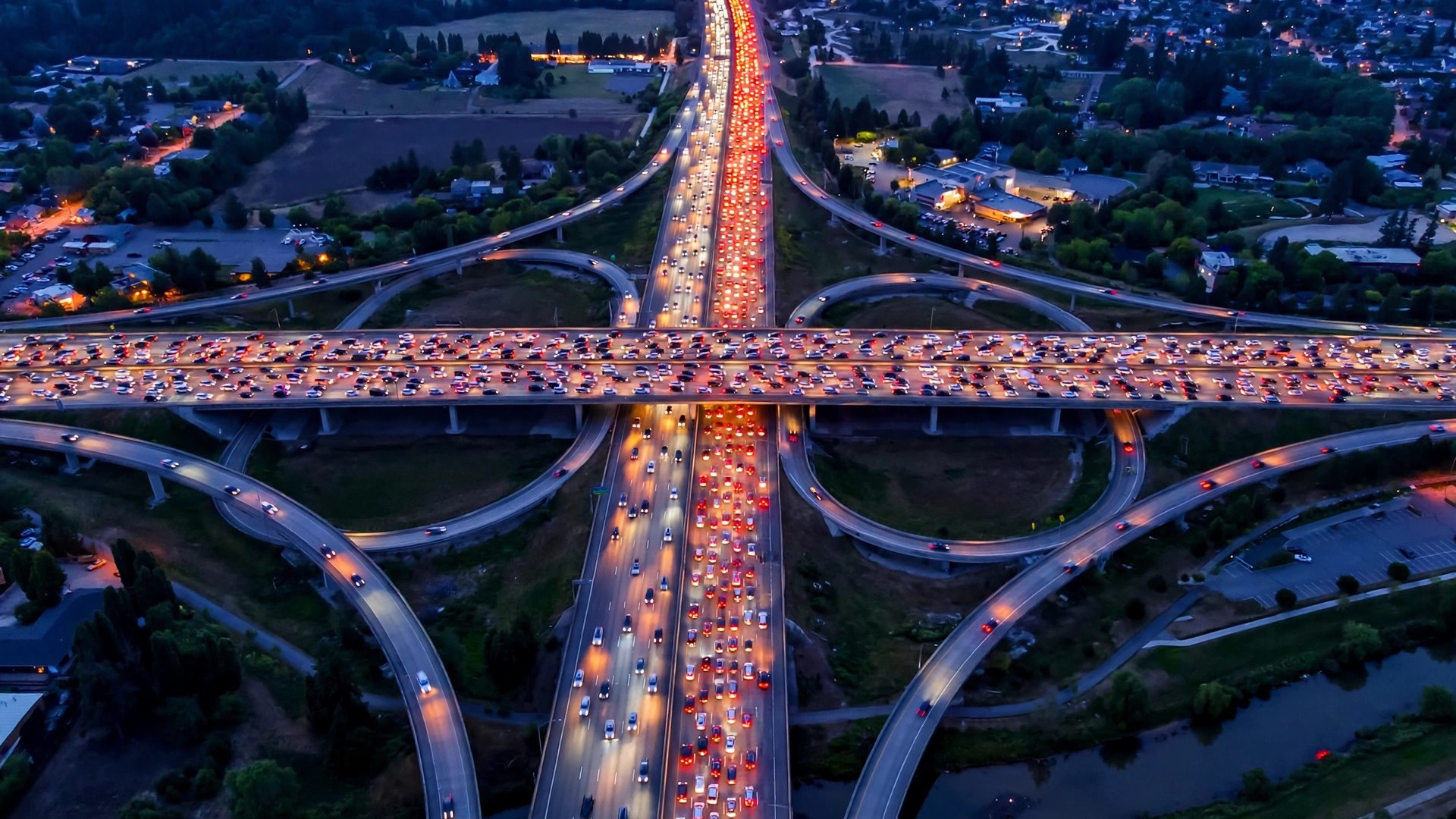
The family traffic desk
One last social form of the check deserves its sentence: in most households, one person becomes the traffic desk — the one who checks before the school run, calls out the airport departure, and is consulted by relatives setting out across the city. The role looks like a chore and functions as a gift: a two-minute check, repeated kindly, is worth more to a family’s punctuality than any vehicle it will ever own. If this article has a hope beyond technique, it is that the role rotates — that everyone who asks “how’s the traffic?” learns to open the map and answer it, because the instruments are free, the routine takes ninety seconds, and the roads are measurably kinder to those who read them before joining them.
Three departures, checked properly
The airport run, Friday 6 a.m. Typical traffic for the route at that hour says 55 minutes — the pattern knows about the early office build on the airport corridor even though the live map, checked Thursday night, was empty and green. Plan by the typical figure, add a deadline buffer, and let Friday’s live check at 5:30 merely confirm or improve it.
The cross-city dinner, Saturday 7 p.m. Planning data is weak here — Saturday evenings vary too much for pattern alone — so the live check rules: colours on the corridor at 6:40, the destination district’s state alongside, and a departure that slides twenty minutes either way without drama. This is the live layer’s home fixture.
The daily commute, any weekday. The commuter’s luxury is calibration: after two weeks of checks you know your corridor’s honest spread — 28 minutes clean, 45 in the build, 70 when something breaks — and your only daily question is which of the three today is. The check shrinks to ten seconds, and its real product is not information but the absence of surprise.
Three trips, three balances of pattern and present — the checker’s whole doctrine in miniature.
When the answer is “don’t drive”
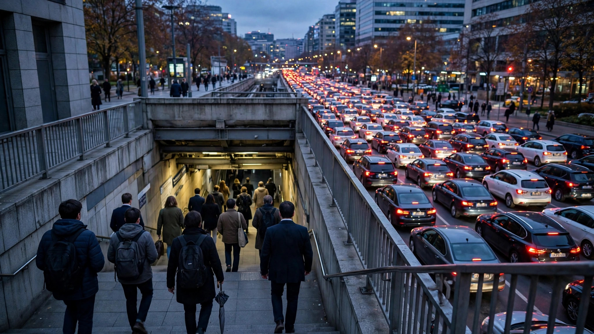
A mature checker also knows the check’s final verdict: occasionally the correct reading of the map is to abandon the car entirely. When your corridor is dark red from end to end, when the destination district is simultaneously wearing its crowd outline, and when a metro or train line runs parallel to your misery, the traffic question has answered a different question — the mode question. The same is true in reverse for the last train home: the checker who reads a collapsing road network at 10 p.m. leaves now, on wheels, rather than beautifully informed at midnight.
This is the deepest habit the routine builds — not loyalty to a route or a vehicle, but loyalty to the arrival. The map shows roads, crowds, patterns and the present tense; the checker supplies the goal. Every section of this guide has really been about keeping those two in their right order.
Frequently asked questions
Why does the estimate change while I am driving?
Because conditions do. The app re-reads live traffic continuously and revises your arrival as jams form and clear ahead of you — a rising estimate is the network deteriorating, a falling one is a jam discharging before you reach it.
Should I always accept the suggested faster route?
Almost always. The suggestion accounts for where other drivers are being sent and for the jam’s direction of growth. Decline only when you know a local fact the map cannot — a flooded underpass, a procession route.
How far ahead can typical traffic plan?
It describes a typical week, so it plans any future day by its day-of-week pattern. It cannot foresee a specific future event — a strike next Thursday is invisible to it — so deadline trips in event weeks deserve both the typical estimate and a generous buffer.
